The A303, Amesbury
Introduction
The photograph on this page of The A303, Amesbury by Andrew Smith as part of the Geograph project.
The Geograph project started in 2005 with the aim of publishing, organising and preserving representative images for every square kilometre of Great Britain, Ireland and the Isle of Man.

There are currently over 7.5m images from over 14,400 individuals and you can help contribute to the project by visiting https://www.geograph.org.uk
The A303, Amesbury
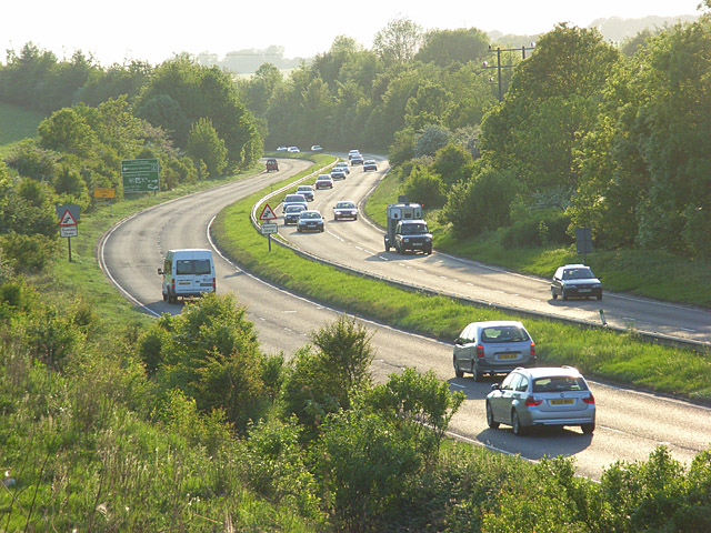
Image: © Andrew Smith Taken: 18 May 2008
Descending to the crossing of the River Avon. Viewed from the bridge on the Bulford Road.
Images are licensed for reuse under creativecommons.org/licenses/by-sa/2.0
Image Location
Latitude
51.177905
Longitude
-1.7682