The Bakers Arms Somerford Keynes
Introduction
The photograph on this page of The Bakers Arms Somerford Keynes by Peter Watkins as part of the Geograph project.
The Geograph project started in 2005 with the aim of publishing, organising and preserving representative images for every square kilometre of Great Britain, Ireland and the Isle of Man.

There are currently over 7.5m images from over 14,400 individuals and you can help contribute to the project by visiting https://www.geograph.org.uk
The Bakers Arms Somerford Keynes
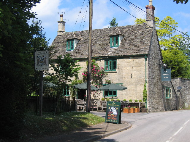
Image: © Peter Watkins Taken: 18 Jun 2005
Somerford Keynes is a linear village mostly in the Cotswold vernacular. Note grey "North Cerney" stone and limestone roofing slates. The pub is a popular stop on the Thames Trail long distance footpath.
Images are licensed for reuse under creativecommons.org/licenses/by-sa/2.0
Image Location


Leaflet Map data © OpenStreetMap
Latitude
51.657384
Longitude
-1.975377