Hurstleigh Drive
Introduction
The photograph on this page of Hurstleigh Drive by Ian Capper as part of the Geograph project.
The Geograph project started in 2005 with the aim of publishing, organising and preserving representative images for every square kilometre of Great Britain, Ireland and the Isle of Man.

There are currently over 7.5m images from over 14,400 individuals and you can help contribute to the project by visiting https://www.geograph.org.uk
Hurstleigh Drive
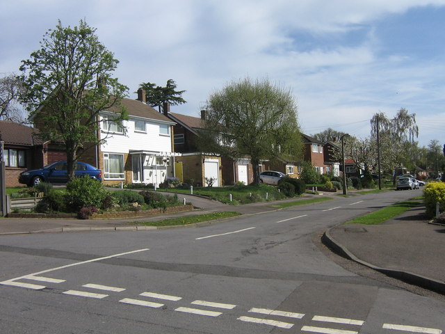
Image: © Ian Capper Taken: 26 Apr 2008
Seen from the junction with Park Road. An 1890 map of Redhill shows Hurstleigh as a large house on the site; three other roads nearby, Buckhurst Close and Eldersley Close and Elderlsey Gardens were similarly named after former houses.
Images are licensed for reuse under creativecommons.org/licenses/by-sa/2.0
Image Location
Latitude
51.245519
Longitude
-0.172537