River Test south of A3057 road bridge
Introduction
The photograph on this page of River Test south of A3057 road bridge by Peter Facey as part of the Geograph project.
The Geograph project started in 2005 with the aim of publishing, organising and preserving representative images for every square kilometre of Great Britain, Ireland and the Isle of Man.

There are currently over 7.5m images from over 14,400 individuals and you can help contribute to the project by visiting https://www.geograph.org.uk
River Test south of A3057 road bridge
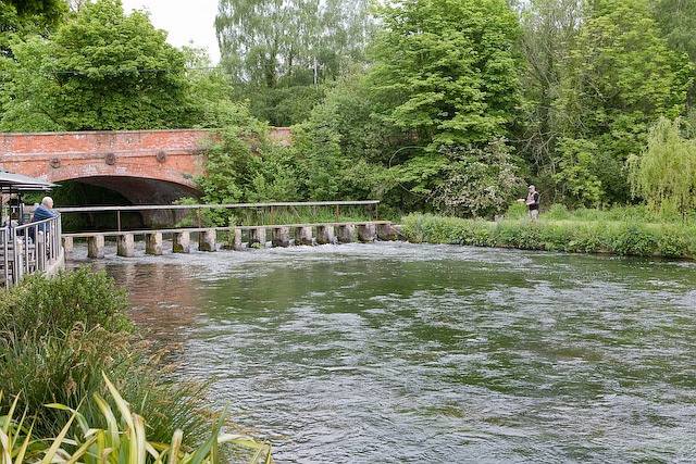
Image: © Peter Facey Taken: 20 May 2008
Seen from terrace of The Mayfly pub. This is the reciprocal of Image The fly fisherman hooked a fish but lost it due to over eager reeling in. I meanwhile was tucking into a salmon fillet and a pint of cider.
Images are licensed for reuse under creativecommons.org/licenses/by-sa/2.0
Image Location


Leaflet Map data © OpenStreetMap
Latitude
51.148723
Longitude
-1.455394