M74 extension
Introduction
The photograph on this page of M74 extension by Scott as part of the Geograph project.
The Geograph project started in 2005 with the aim of publishing, organising and preserving representative images for every square kilometre of Great Britain, Ireland and the Isle of Man.

There are currently over 7.5m images from over 14,400 individuals and you can help contribute to the project by visiting https://www.geograph.org.uk
M74 extension
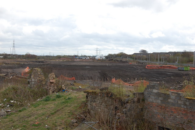
Image: © Scott Taken: 24 Apr 2008
This is waste ground at present,the M74 motorway extension will go straight through here.To the right of frame,you can see the cable pylons for the main railway line.This is the former site of the Caledonian pottery.
Images are licensed for reuse under creativecommons.org/licenses/by-sa/2.0
Image Location
Latitude
55.830312
Longitude
-4.207617