Derelict Buildings, Nanpean
Introduction
The photograph on this page of Derelict Buildings, Nanpean by Tony Atkin as part of the Geograph project.
The Geograph project started in 2005 with the aim of publishing, organising and preserving representative images for every square kilometre of Great Britain, Ireland and the Isle of Man.

There are currently over 7.5m images from over 14,400 individuals and you can help contribute to the project by visiting https://www.geograph.org.uk
Derelict Buildings, Nanpean
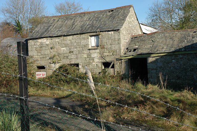
Image: © Tony Atkin Taken: 19 Nov 2005
These derelict buildings in the centre of the village have, according to the nearby sign, been "acquired for development".
Images are licensed for reuse under creativecommons.org/licenses/by-sa/2.0
Image Location
Latitude
50.368486
Longitude
-4.868565