Lower Barnkin
Introduction
The photograph on this page of Lower Barnkin by Chris Newman as part of the Geograph project.
The Geograph project started in 2005 with the aim of publishing, organising and preserving representative images for every square kilometre of Great Britain, Ireland and the Isle of Man.

There are currently over 7.5m images from over 14,400 individuals and you can help contribute to the project by visiting https://www.geograph.org.uk
Lower Barnkin
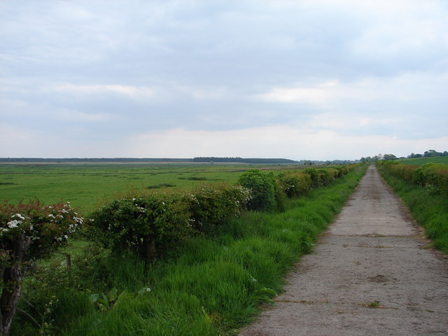
Image: © Chris Newman Taken: 21 May 2008
Farm track leads SE from rear of Barnkin Cottages with Craigs Moss to left of picture and Barnkin of Craigs Farm grazing fields over the hedging to right.
Images are licensed for reuse under creativecommons.org/licenses/by-sa/2.0
Image Location


Leaflet Map data © OpenStreetMap
Latitude
55.033554
Longitude
-3.548448