St Mary's Roman Catholic Church
Introduction
The photograph on this page of St Mary's Roman Catholic Church by Richard Law as part of the Geograph project.
The Geograph project started in 2005 with the aim of publishing, organising and preserving representative images for every square kilometre of Great Britain, Ireland and the Isle of Man.

There are currently over 7.5m images from over 14,400 individuals and you can help contribute to the project by visiting https://www.geograph.org.uk
St Mary's Roman Catholic Church
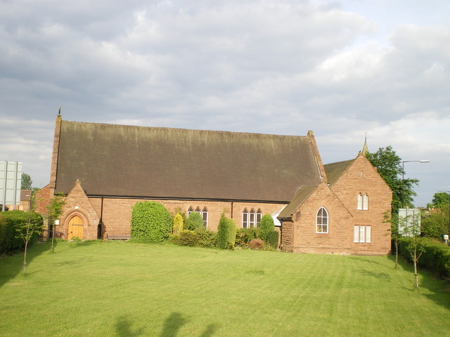
Image: © Richard Law Taken: 20 May 2008
This church occupies the angle of roads right next to Five-ways traffic island. The Presbytery is on the right.
Images are licensed for reuse under creativecommons.org/licenses/by-sa/2.0
Image Location
Latitude
52.667316
Longitude
-2.375843