Moston station 1977
Introduction
The photograph on this page of Moston station 1977 by Peter Whatley as part of the Geograph project.
The Geograph project started in 2005 with the aim of publishing, organising and preserving representative images for every square kilometre of Great Britain, Ireland and the Isle of Man.

There are currently over 7.5m images from over 14,400 individuals and you can help contribute to the project by visiting https://www.geograph.org.uk
Moston station 1977
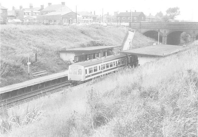
Image: © Peter Whatley Taken: Unknown
Moston station from the footpath to the east of the railway cutting. Beyond the station is a petrol station selling National Benzole fuel and a private preparatory school. Rapid vegetation growth since the 1980s make this view unrepeatable, though the station is still in use, minus both buildings shown.
Images are licensed for reuse under creativecommons.org/licenses/by-sa/2.0
Image Location
Latitude
53.523364
Longitude
-2.17146