Woodland track at Knock Mary
Introduction
The photograph on this page of Woodland track at Knock Mary by Lis Burke as part of the Geograph project.
The Geograph project started in 2005 with the aim of publishing, organising and preserving representative images for every square kilometre of Great Britain, Ireland and the Isle of Man.

There are currently over 7.5m images from over 14,400 individuals and you can help contribute to the project by visiting https://www.geograph.org.uk
Woodland track at Knock Mary
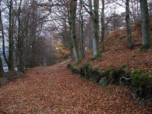
Image: © Lis Burke Taken: 19 Nov 2005
Knock Mary is a rounded tree-clad hill southwest of Crieff. The western slopes are mainly beech.
Images are licensed for reuse under creativecommons.org/licenses/by-sa/2.0
Image Location
Latitude
56.358182
Longitude
-3.87091