Footpath through the rape
Introduction
The photograph on this page of Footpath through the rape by Bob Embleton as part of the Geograph project.
The Geograph project started in 2005 with the aim of publishing, organising and preserving representative images for every square kilometre of Great Britain, Ireland and the Isle of Man.

There are currently over 7.5m images from over 14,400 individuals and you can help contribute to the project by visiting https://www.geograph.org.uk
Footpath through the rape
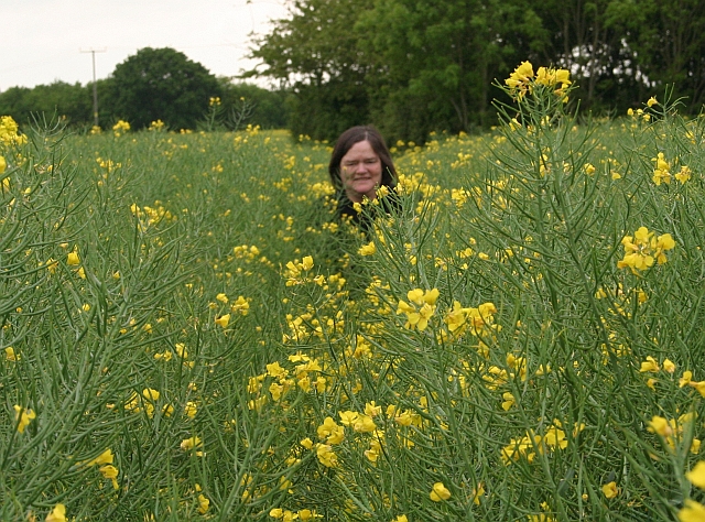
Image: © Bob Embleton Taken: 17 May 2008
The path is clearly defined, but the rape is so tall and bushy that it looks, at first, to be impassable. Got soaked by leading the way through the field. The rape has mostly flowered and the oil producing seed pods are forming.
Images are licensed for reuse under creativecommons.org/licenses/by-sa/2.0
Image Location
Latitude
52.078978
Longitude
-2.248015