Road, rail and river at Redbridge
Introduction
The photograph on this page of Road, rail and river at Redbridge by David Martin as part of the Geograph project.
The Geograph project started in 2005 with the aim of publishing, organising and preserving representative images for every square kilometre of Great Britain, Ireland and the Isle of Man.

There are currently over 7.5m images from over 14,400 individuals and you can help contribute to the project by visiting https://www.geograph.org.uk
Road, rail and river at Redbridge
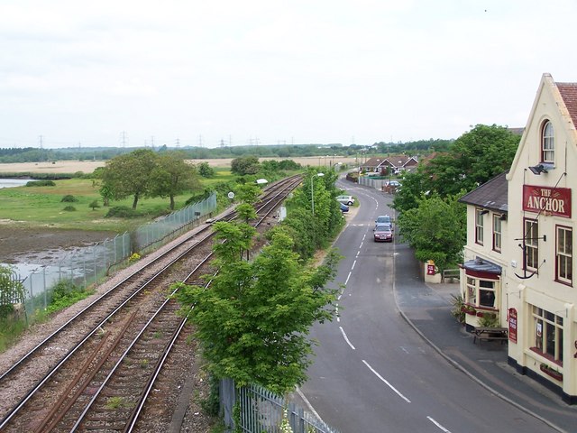
Image: © David Martin Taken: 20 May 2008
View north from the modern road bridge which crosses the old road, railway and River Test adjacent to the Anchor public house
Images are licensed for reuse under creativecommons.org/licenses/by-sa/2.0
Image Location


Leaflet Map data © OpenStreetMap
Latitude
50.922297
Longitude
-1.474828