Waterwheel, Shears Lower Mill, Exeter
Introduction
The photograph on this page of Waterwheel, Shears Lower Mill, Exeter by Derek Harper as part of the Geograph project.
The Geograph project started in 2005 with the aim of publishing, organising and preserving representative images for every square kilometre of Great Britain, Ireland and the Isle of Man.

There are currently over 7.5m images from over 14,400 individuals and you can help contribute to the project by visiting https://www.geograph.org.uk
Waterwheel, Shears Lower Mill, Exeter
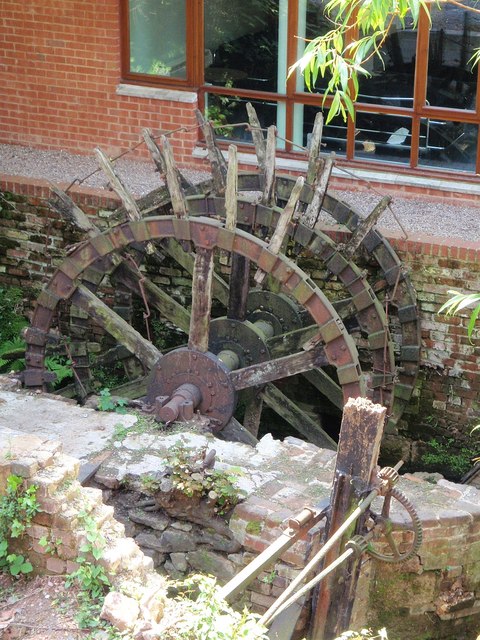
Image: © Derek Harper Taken: 13 May 2008
This waterwheel survives just 40 metres down Higher Leat from Image The history of the mill it served is described in http://www.exetermemories.co.uk/EM/exeter_mills.html#lower . A sluice mechanism is in the foreground.
Images are licensed for reuse under creativecommons.org/licenses/by-sa/2.0
Image Location
Latitude
50.719069
Longitude
-3.532822