Looking towards Smailholm from Mellerstain Mill
Introduction
The photograph on this page of Looking towards Smailholm from Mellerstain Mill by John Haddington as part of the Geograph project.
The Geograph project started in 2005 with the aim of publishing, organising and preserving representative images for every square kilometre of Great Britain, Ireland and the Isle of Man.

There are currently over 7.5m images from over 14,400 individuals and you can help contribute to the project by visiting https://www.geograph.org.uk
Looking towards Smailholm from Mellerstain Mill
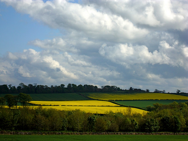
Image: © John Haddington Taken: 18 May 2008
Scudding clouds in May with fields of oilseed below. The village of Smailholm is hidden in the trees on the ridge beyond.
Images are licensed for reuse under creativecommons.org/licenses/by-sa/2.0
Image Location
Latitude
55.6306
Longitude
-2.559509