The Wee Burnie
Introduction
The photograph on this page of The Wee Burnie by James Denham as part of the Geograph project.
The Geograph project started in 2005 with the aim of publishing, organising and preserving representative images for every square kilometre of Great Britain, Ireland and the Isle of Man.

There are currently over 7.5m images from over 14,400 individuals and you can help contribute to the project by visiting https://www.geograph.org.uk
The Wee Burnie
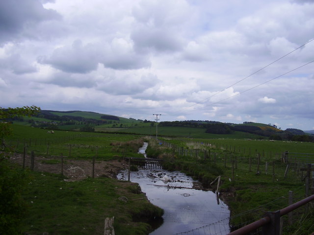
Image: © James Denham Taken: 19 May 2008
This burn runs through fields near Eastfield at Symington in Lanarkshire before draining in to the River Clyde.
Images are licensed for reuse under creativecommons.org/licenses/by-sa/2.0
Image Location


Leaflet Map data © OpenStreetMap
Latitude
55.606201
Longitude
-3.590146