Coldharbour Lane junction
Introduction
The photograph on this page of Coldharbour Lane junction by Phil Williams as part of the Geograph project.
The Geograph project started in 2005 with the aim of publishing, organising and preserving representative images for every square kilometre of Great Britain, Ireland and the Isle of Man.

There are currently over 7.5m images from over 14,400 individuals and you can help contribute to the project by visiting https://www.geograph.org.uk
Coldharbour Lane junction
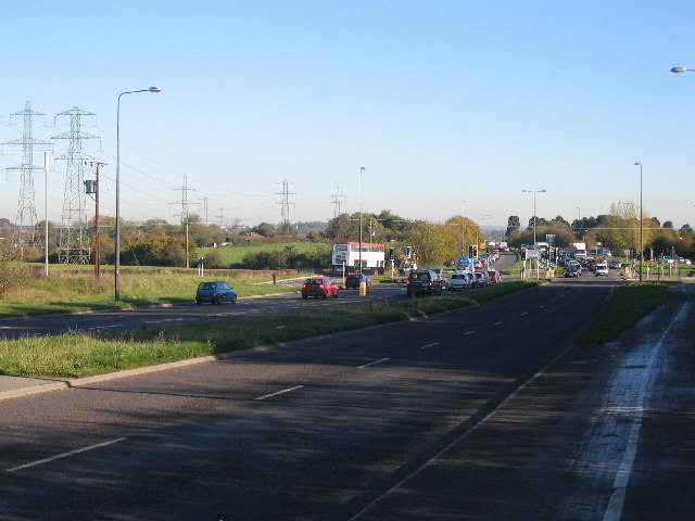
Image: © Phil Williams Taken: 18 Nov 2005
Looking east along the A4174 Bristol ring road towards the junction with Coldharbour Lane. Two lines of power transmission cables can be seen at left, and the University of West of England campus is out of view to the right of the picture.
Images are licensed for reuse under creativecommons.org/licenses/by-sa/2.0
Image Location


Leaflet Map data © OpenStreetMap
Latitude
51.504147
Longitude
-2.548878