Warehouses, East Float
Introduction
The photograph on this page of Warehouses, East Float by George Robinson as part of the Geograph project.
The Geograph project started in 2005 with the aim of publishing, organising and preserving representative images for every square kilometre of Great Britain, Ireland and the Isle of Man.

There are currently over 7.5m images from over 14,400 individuals and you can help contribute to the project by visiting https://www.geograph.org.uk
Warehouses, East Float
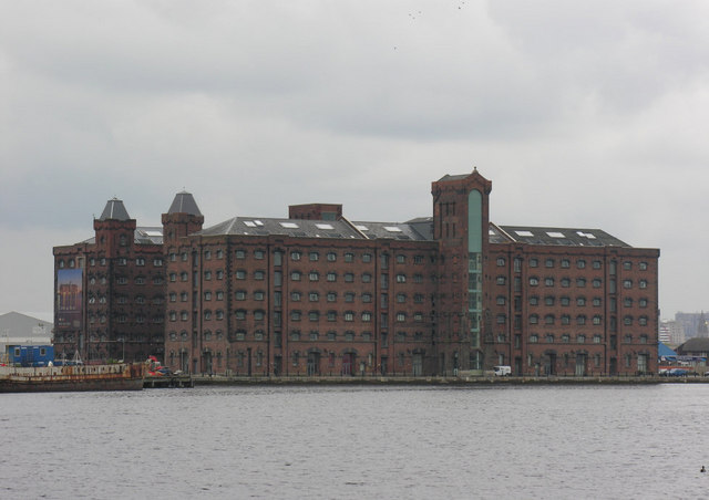
Image: © George Robinson Taken: 17 May 2008
With the historic warships fleet now removed from alongside, a better view is obtained of these old flour warehouses, which are now being redeveloped.
Images are licensed for reuse under creativecommons.org/licenses/by-sa/2.0
Image Location


Leaflet Map data © OpenStreetMap
Latitude
53.405339
Longitude
-3.030028