Green Lane, Botesdale
Introduction
The photograph on this page of Green Lane, Botesdale by Charles Greenhough as part of the Geograph project.
The Geograph project started in 2005 with the aim of publishing, organising and preserving representative images for every square kilometre of Great Britain, Ireland and the Isle of Man.

There are currently over 7.5m images from over 14,400 individuals and you can help contribute to the project by visiting https://www.geograph.org.uk
Green Lane, Botesdale
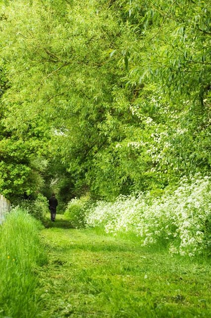
Image: © Charles Greenhough Taken: 17 May 2008
This right of way is designated a footpath and is the full width of the track. It leads for about two hundred yards between fields which were once used by local public houses for grazing horses. There is no through route. A previous owner tried and failed to obtain planning permission for several dwellings. This and adjoining land is protected as a "Visually Important Open Space".
Images are licensed for reuse under creativecommons.org/licenses/by-sa/2.0
Image Location
Latitude
52.344688
Longitude
1.00271