Footpath near Ranscombe Farm, Cuxton
Introduction
The photograph on this page of Footpath near Ranscombe Farm, Cuxton by Danny P Robinson as part of the Geograph project.
The Geograph project started in 2005 with the aim of publishing, organising and preserving representative images for every square kilometre of Great Britain, Ireland and the Isle of Man.

There are currently over 7.5m images from over 14,400 individuals and you can help contribute to the project by visiting https://www.geograph.org.uk
Footpath near Ranscombe Farm, Cuxton
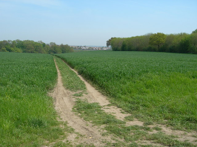
Image: © Danny P Robinson Taken: 5 May 2008
This path eventually crosses the M2 and ends up on a housing estate on the outskirts of Strood (visible in the distance). The woods of Merrals Shaw are on the right.
Images are licensed for reuse under creativecommons.org/licenses/by-sa/2.0
Image Location
Latitude
51.3825
Longitude
0.460229