Grosvenor Place - north side
Introduction
The photograph on this page of Grosvenor Place - north side by John S Turner as part of the Geograph project.
The Geograph project started in 2005 with the aim of publishing, organising and preserving representative images for every square kilometre of Great Britain, Ireland and the Isle of Man.

There are currently over 7.5m images from over 14,400 individuals and you can help contribute to the project by visiting https://www.geograph.org.uk
Grosvenor Place - north side
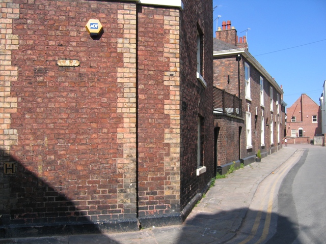
Image: © John S Turner Taken: 14 May 2008
The north side of Grosvenor Place as seen from its junction with Bunce Street. The cast iron sign 'SMP' (with a small 'l' between the M and P) is a parish boundary marker for St Michael's parish. St Michael's is now the Chester History and Heritage Centre, which is a short distance away - see Image
Images are licensed for reuse under creativecommons.org/licenses/by-sa/2.0
Image Location
Latitude
53.187748
Longitude
-2.891907