Remains of Ketley station platform and trackbed
Introduction
The photograph on this page of Remains of Ketley station platform and trackbed by Peter Whatley as part of the Geograph project.
The Geograph project started in 2005 with the aim of publishing, organising and preserving representative images for every square kilometre of Great Britain, Ireland and the Isle of Man.

There are currently over 7.5m images from over 14,400 individuals and you can help contribute to the project by visiting https://www.geograph.org.uk
Remains of Ketley station platform and trackbed
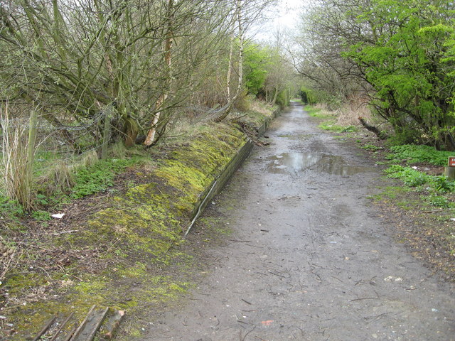
Image: © Peter Whatley Taken: 11 Apr 2008
Looking due south toward Horsehay, the remains of this station on the Wellington-Craven Arms branch (closed piecemeal from the 1930s to the 1960s) have been unused since 1961. The trackbed is now a public footpath. Taken from the former site of a level crossing across what in railway days was the A5 trunk road.
Images are licensed for reuse under creativecommons.org/licenses/by-sa/2.0
Image Location
Latitude
52.69542
Longitude
-2.484099