Bradninch: lane from Bradninch to Ellerhayes Bridge
Introduction
The photograph on this page of Bradninch: lane from Bradninch to Ellerhayes Bridge by Martin Bodman as part of the Geograph project.
The Geograph project started in 2005 with the aim of publishing, organising and preserving representative images for every square kilometre of Great Britain, Ireland and the Isle of Man.

There are currently over 7.5m images from over 14,400 individuals and you can help contribute to the project by visiting https://www.geograph.org.uk
Bradninch: lane from Bradninch to Ellerhayes Bridge
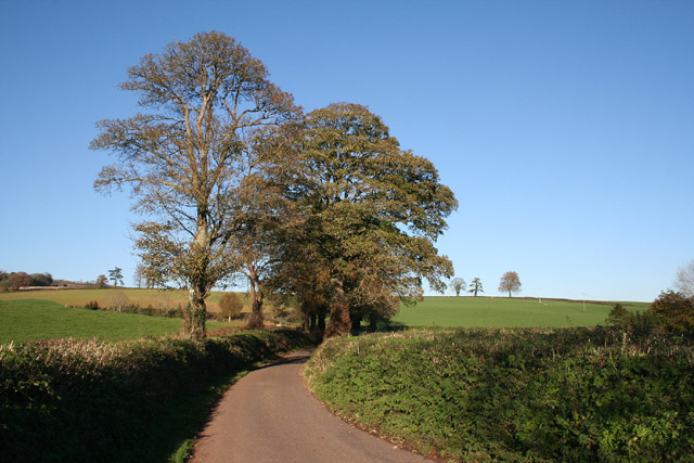
Image: © Martin Bodman Taken: 18 Nov 2005
It may seem remarkable today that before the Cullompton Turnpike was opened in the second decade of the 19th century this was probably the main road from Bristol and the north to Exeter and Plymouth. In 1770 a stage coach took a day and a half to travel between Bristol and Exeter, calling at Bridgwater and Taunton. Inside passengers were charged a guinea for the full distance. Looking north north east towards Bradninch.
Images are licensed for reuse under creativecommons.org/licenses/by-sa/2.0
Image Location


Leaflet Map data © OpenStreetMap
Latitude
50.816792
Longitude
-3.436506