Big Low from Billinge Hill
Introduction
The photograph on this page of Big Low from Billinge Hill by Kate Jewell as part of the Geograph project.
The Geograph project started in 2005 with the aim of publishing, organising and preserving representative images for every square kilometre of Great Britain, Ireland and the Isle of Man.

There are currently over 7.5m images from over 14,400 individuals and you can help contribute to the project by visiting https://www.geograph.org.uk
Big Low from Billinge Hill
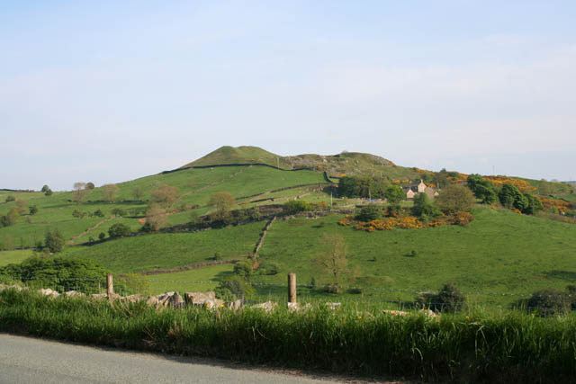
Image: © Kate Jewell Taken: 15 May 2008
. . . or Billinge Side as the locals say! This view from Blaze Hill, the road that skirts Billinge Hill, shows off the dramatic farmland in this part of the Peak District National Park.
Images are licensed for reuse under creativecommons.org/licenses/by-sa/2.0
Image Location
Latitude
53.290486
Longitude
-2.065366