Hedge Row
Introduction
The photograph on this page of Hedge Row by Kate Jewell as part of the Geograph project.
The Geograph project started in 2005 with the aim of publishing, organising and preserving representative images for every square kilometre of Great Britain, Ireland and the Isle of Man.

There are currently over 7.5m images from over 14,400 individuals and you can help contribute to the project by visiting https://www.geograph.org.uk
Hedge Row
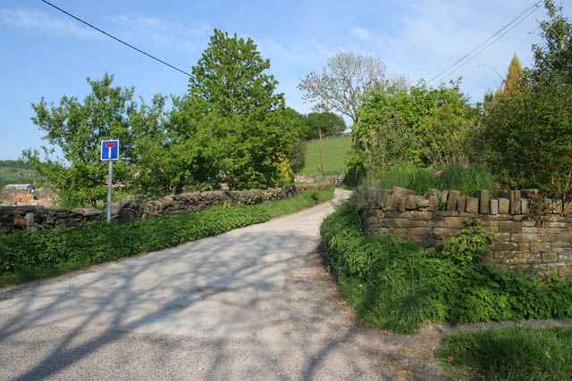
Image: © Kate Jewell Taken: 15 May 2008
The Gritstone Trail follows this narrow country road for a few hundred yards before heading off across farmland to the Harrop Brook, while the public footpath continues along to the end of the lane to Bower Clough in Image
Images are licensed for reuse under creativecommons.org/licenses/by-sa/2.0
Image Location


Leaflet Map data © OpenStreetMap
Latitude
53.300364
Longitude
-2.081436