Spuley Lane
Introduction
The photograph on this page of Spuley Lane by Kate Jewell as part of the Geograph project.
The Geograph project started in 2005 with the aim of publishing, organising and preserving representative images for every square kilometre of Great Britain, Ireland and the Isle of Man.

There are currently over 7.5m images from over 14,400 individuals and you can help contribute to the project by visiting https://www.geograph.org.uk
Spuley Lane
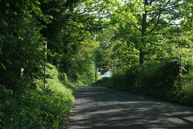
Image: © Kate Jewell Taken: 15 May 2008
A leafy lane on the north west edge of the Peak District National Park. The metal post on the left of the road marks the start of a footpath that goes to Berristall Hall and Harrop Wood.
Images are licensed for reuse under creativecommons.org/licenses/by-sa/2.0
Image Location


Leaflet Map data © OpenStreetMap
Latitude
53.304767
Longitude
-2.083095