Arun journey
Introduction
The photograph on this page of Arun journey by Graham Horn as part of the Geograph project.
The Geograph project started in 2005 with the aim of publishing, organising and preserving representative images for every square kilometre of Great Britain, Ireland and the Isle of Man.

There are currently over 7.5m images from over 14,400 individuals and you can help contribute to the project by visiting https://www.geograph.org.uk
Arun journey
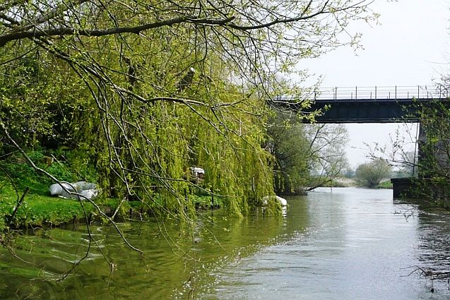
Image: © Graham Horn Taken: 20 Apr 2008
The inflatable is the best craft for this section of the river, and there were a few here. Beyond the railway bridge can just be seen the confluence of the north and south courses of the river through Pulborough. Next Image]
Images are licensed for reuse under creativecommons.org/licenses/by-sa/2.0
Image Location
Latitude
50.95617
Longitude
-0.51866