The Mule valley
Introduction
The photograph on this page of The Mule valley by Jonathan Billinger as part of the Geograph project.
The Geograph project started in 2005 with the aim of publishing, organising and preserving representative images for every square kilometre of Great Britain, Ireland and the Isle of Man.

There are currently over 7.5m images from over 14,400 individuals and you can help contribute to the project by visiting https://www.geograph.org.uk
The Mule valley
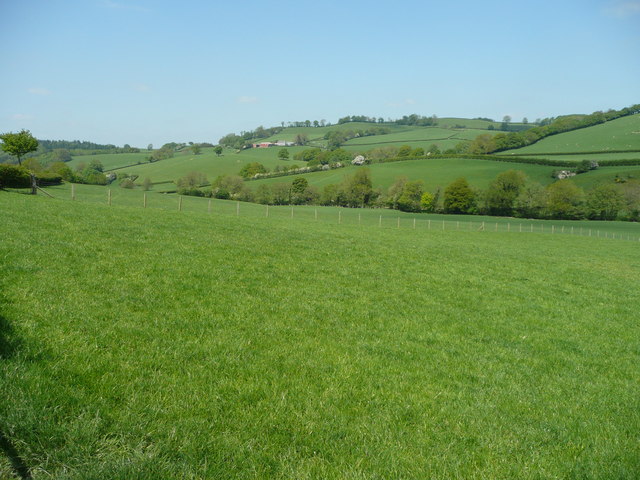
Image: © Jonathan Billinger Taken: 14 May 2008
A tributary of the Severn, the river flows north-west to meet its big brother at Abermule. Pasture land predominates.
Images are licensed for reuse under creativecommons.org/licenses/by-sa/2.0
Image Location
Latitude
52.519123
Longitude
-3.21226