Trough, Bank Hey Bottom Lane, Barkisland
Introduction
The photograph on this page of Trough, Bank Hey Bottom Lane, Barkisland by Humphrey Bolton as part of the Geograph project.
The Geograph project started in 2005 with the aim of publishing, organising and preserving representative images for every square kilometre of Great Britain, Ireland and the Isle of Man.

There are currently over 7.5m images from over 14,400 individuals and you can help contribute to the project by visiting https://www.geograph.org.uk
Trough, Bank Hey Bottom Lane, Barkisland
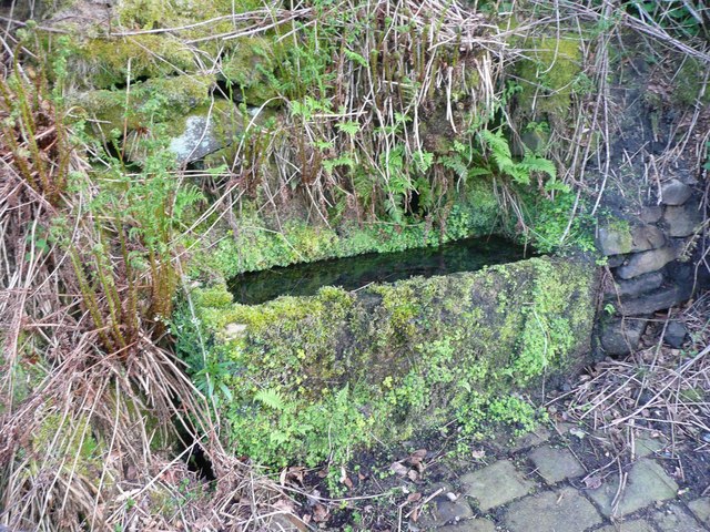
Image: © Humphrey Bolton Taken: 12 May 2008
This is only a few metres up the lane from a well. Stone setts were provided to avoid a muddy patch in what would have been an unsurfaced lane before the mid-20C.
Images are licensed for reuse under creativecommons.org/licenses/by-sa/2.0
Image Location
Latitude
53.670159
Longitude
-1.936392