Approaching the road junction at Paradwys
Introduction
The photograph on this page of Approaching the road junction at Paradwys by Eric Jones as part of the Geograph project.
The Geograph project started in 2005 with the aim of publishing, organising and preserving representative images for every square kilometre of Great Britain, Ireland and the Isle of Man.

There are currently over 7.5m images from over 14,400 individuals and you can help contribute to the project by visiting https://www.geograph.org.uk
Approaching the road junction at Paradwys
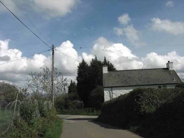
Image: © Eric Jones Taken: 2 May 2008
The cottage on the right is Ty'n Lon Uchaf (= "upper homestead by the road").
Images are licensed for reuse under creativecommons.org/licenses/by-sa/2.0
Image Location
Latitude
53.214579
Longitude
-4.367356