Ty Calch Farm from the Paradwys road
Introduction
The photograph on this page of Ty Calch Farm from the Paradwys road by Eric Jones as part of the Geograph project.
The Geograph project started in 2005 with the aim of publishing, organising and preserving representative images for every square kilometre of Great Britain, Ireland and the Isle of Man.

There are currently over 7.5m images from over 14,400 individuals and you can help contribute to the project by visiting https://www.geograph.org.uk
Ty Calch Farm from the Paradwys road
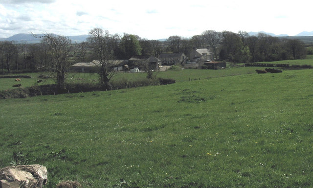
Image: © Eric Jones Taken: 2 May 2008
Ty Calch simply means "lime house". This is an area of Carboniferous Limestone. Limestone was quarried on the ridge above the house for agricultural purposes, some of it being transported to Caernarfonshire by sea.
Images are licensed for reuse under creativecommons.org/licenses/by-sa/2.0
Image Location
Latitude
53.213372
Longitude
-4.369237