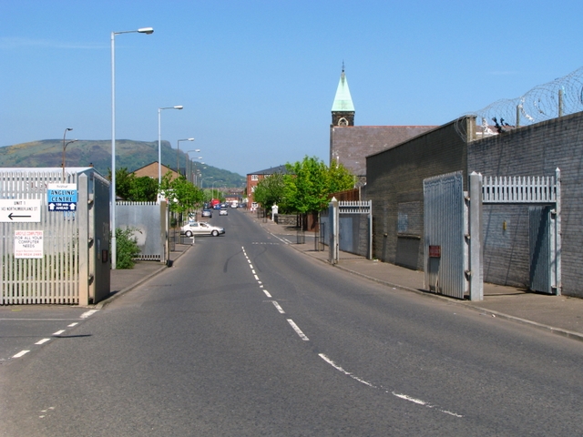
Northumberland Street, Belfast
Introduction
The photograph on this page of Northumberland Street, Belfast by Rossographer as part of the Geograph project.
The Geograph project started in 2005 with the aim of publishing, organising and preserving representative images for every square kilometre of Great Britain, Ireland and the Isle of Man.
There are currently over 7.5m images from over 14,400 individuals and you can help contribute to the project by visiting https://www.geograph.org.uk

Image: © Rossographer Taken: 14 May 2008
Northumberland Street connects the divided communities of the Falls (behind my position) and Shankill (facing) in Belfast. The two metal gates act as 'peacelines' and can be closed to prevent trouble ('minimize intercommunal sectarian violence') between the two communities. First seen as 'temporary' structures in the early 1970s, peacelines were designed to help prevent riots and to stop the easy access of sectarian murder gangs travelling between rival communities. Despite Northern Ireland entering into a period of peace and reconciliation, many peacelines still exist. See http://www.geographyinaction.co.uk/Ethnic%20Diversity/Ethnic_PeaceLines.html for more information.

