2008 : Wheatfield near Wadswick
Introduction
The photograph on this page of 2008 : Wheatfield near Wadswick by Maurice Pullin as part of the Geograph project.
The Geograph project started in 2005 with the aim of publishing, organising and preserving representative images for every square kilometre of Great Britain, Ireland and the Isle of Man.

There are currently over 7.5m images from over 14,400 individuals and you can help contribute to the project by visiting https://www.geograph.org.uk
2008 : Wheatfield near Wadswick
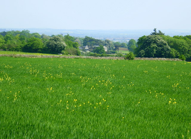
Image: © Maurice Pullin Taken: 13 May 2008
Looking toward Neston Park with Melksham in the distance as a brownish smudge. The yellow flowers are oilseed rape, probably growing from seed from last year's crop.
Images are licensed for reuse under creativecommons.org/licenses/by-sa/2.0
Image Location


Leaflet Map data © OpenStreetMap
Latitude
51.406693
Longitude
-2.21244