Milepost for London Loop, the Warren
Introduction
The photograph on this page of Milepost for London Loop, the Warren by Brian Green as part of the Geograph project.
The Geograph project started in 2005 with the aim of publishing, organising and preserving representative images for every square kilometre of Great Britain, Ireland and the Isle of Man.

There are currently over 7.5m images from over 14,400 individuals and you can help contribute to the project by visiting https://www.geograph.org.uk
Milepost for London Loop, the Warren
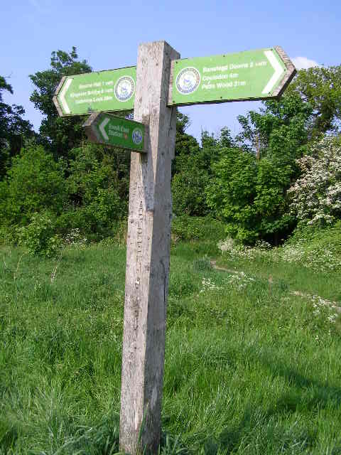
Image: © Brian Green Taken: 14 May 2008
To the right: Banstead Downs 2 1/4 miles ; Coulsdon 4 miles ; Petts Wood 31 Miles To the left: Bourne Hall 1 1/4 mile ; Kingston Bridge 8 1/4 miles ; Uxbridge Lock 28 miles and, coming out from the front: Ewell East Station
Images are licensed for reuse under creativecommons.org/licenses/by-sa/2.0
Image Location
Latitude
51.351787
Longitude
-0.229347