
Lower Brailes: St George's church
Introduction
The photograph on this page of Lower Brailes: St George's church by Francois Thomas as part of the Geograph project.
The Geograph project started in 2005 with the aim of publishing, organising and preserving representative images for every square kilometre of Great Britain, Ireland and the Isle of Man.

There are currently over 7.5m images from over 14,400 individuals and you can help contribute to the project by visiting https://www.geograph.org.uk
Lower Brailes: St George's church
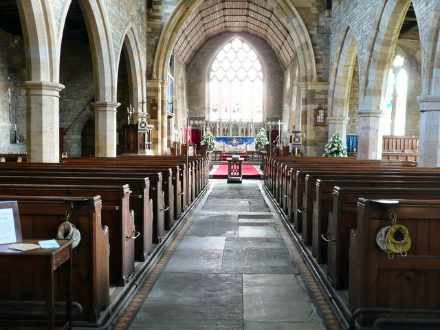
Image: © Francois Thomas Taken: 14 Apr 2008
Brailes (Upper and Lower) is an attractive village surrounded by hills at the southern extremity of Warwickshire, bordering Oxfordshire to the east. Located 4 miles east of Shipston-on-Stour on the B4035 Shipston to Banbury road, the village lies within the Cotswold Area of Outstanding Natural Beauty. The magnificent 120 foot Perpendicular tower of the Grade I Listed St.George's Church, with its four pinnacles, is an easily distinguished landmark.
Images are licensed for reuse under creativecommons.org/licenses/by-sa/2.0
Image Location

Latitude
52.050743
Longitude
-1.54031