Junction of Burnage Lane and Lane End Road
Introduction
The photograph on this page of Junction of Burnage Lane and Lane End Road by Slbs as part of the Geograph project.
The Geograph project started in 2005 with the aim of publishing, organising and preserving representative images for every square kilometre of Great Britain, Ireland and the Isle of Man.

There are currently over 7.5m images from over 14,400 individuals and you can help contribute to the project by visiting https://www.geograph.org.uk
Junction of Burnage Lane and Lane End Road
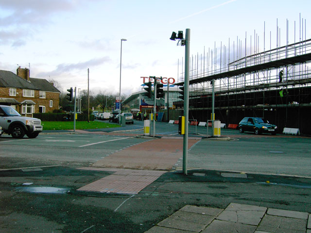
Image: © Slbs Taken: Unknown
Looking east towards the Tesco supermarket. The Lane that ends here is Fog Lane; Burnage Lane crosses this junction and continues north to Burnage and south to Didsbury Road.
Images are licensed for reuse under creativecommons.org/licenses/by-sa/2.0
Image Location


Leaflet Map data © OpenStreetMap
Latitude
53.420741
Longitude
-2.211824