Open Space, Whinney Banks
Introduction
The photograph on this page of Open Space, Whinney Banks by Mick Garratt as part of the Geograph project.
The Geograph project started in 2005 with the aim of publishing, organising and preserving representative images for every square kilometre of Great Britain, Ireland and the Isle of Man.

There are currently over 7.5m images from over 14,400 individuals and you can help contribute to the project by visiting https://www.geograph.org.uk
Open Space, Whinney Banks
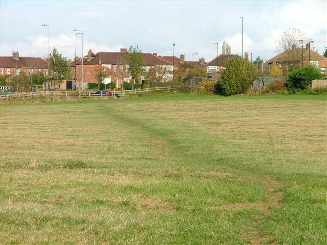
Image: © Mick Garratt Taken: 17 Nov 2005
Public open land created along the east bank of Blue Bell Beck between the Whinney Banks housing estate and the A19. In the photo a footpath formed through use leads from the car parking facility.
Images are licensed for reuse under creativecommons.org/licenses/by-sa/2.0
Image Location


Leaflet Map data © OpenStreetMap
Latitude
54.546073
Longitude
-1.273425