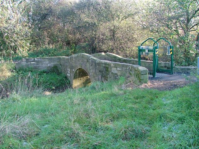
Newham Bridge (Devil's Bridge)
Introduction
The photograph on this page of Newham Bridge (Devil's Bridge) by Mick Garratt as part of the Geograph project.
The Geograph project started in 2005 with the aim of publishing, organising and preserving representative images for every square kilometre of Great Britain, Ireland and the Isle of Man.
There are currently over 7.5m images from over 14,400 individuals and you can help contribute to the project by visiting https://www.geograph.org.uk

Image: © Mick Garratt Taken: 17 Nov 2005
Newham bridge is known locally as the Devil's Bridge on account of an impression of a cloven hoof in one of the stones (which I couldn't find). It provides a crossing of Marton West Beck one of the six becks of Middlesbrough draining north into the River Tees. The bridge once was much wider and was along an ancient drove road for cattle. The unsightly but necessary green structure is a device for restricting the passage of motorbikes.

