Tarka Trail near East Hook Farm
Introduction
The photograph on this page of Tarka Trail near East Hook Farm by Grant Sherman as part of the Geograph project.
The Geograph project started in 2005 with the aim of publishing, organising and preserving representative images for every square kilometre of Great Britain, Ireland and the Isle of Man.

There are currently over 7.5m images from over 14,400 individuals and you can help contribute to the project by visiting https://www.geograph.org.uk
Tarka Trail near East Hook Farm
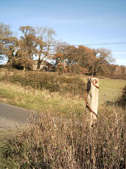
Image: © Grant Sherman Taken: 17 Nov 2005
Leaving Okehampton, the Tarka Trail heads up to this point... and then decides to go back to the valley again.
Images are licensed for reuse under creativecommons.org/licenses/by-sa/2.0
Image Location
Latitude
50.749981
Longitude
-4.002918