Londesborough Road
Introduction
The photograph on this page of Londesborough Road by Alan Walker as part of the Geograph project.
The Geograph project started in 2005 with the aim of publishing, organising and preserving representative images for every square kilometre of Great Britain, Ireland and the Isle of Man.

There are currently over 7.5m images from over 14,400 individuals and you can help contribute to the project by visiting https://www.geograph.org.uk
Londesborough Road
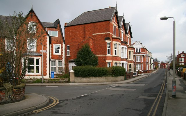
Image: © Alan Walker Taken: 9 Apr 2008
This north-easterly facing photograph is of Londesborough Road near its junction with Image (left). Some 50metres ahead, on the left beyond the tall, three house terrace, is the junction of Londesborough Road with All Saints’ Road. For another photograph of Londesborough Road, taken from the same viewpoint but facing the opposite (south-westerly) direction, click here Image Road name information from OS Maps.
Images are licensed for reuse under creativecommons.org/licenses/by-sa/2.0
Image Location
Latitude
54.276893
Longitude
-0.410883