Alley / Service Road
Introduction
The photograph on this page of Alley / Service Road by Alan Walker as part of the Geograph project.
The Geograph project started in 2005 with the aim of publishing, organising and preserving representative images for every square kilometre of Great Britain, Ireland and the Isle of Man.

There are currently over 7.5m images from over 14,400 individuals and you can help contribute to the project by visiting https://www.geograph.org.uk
Alley / Service Road
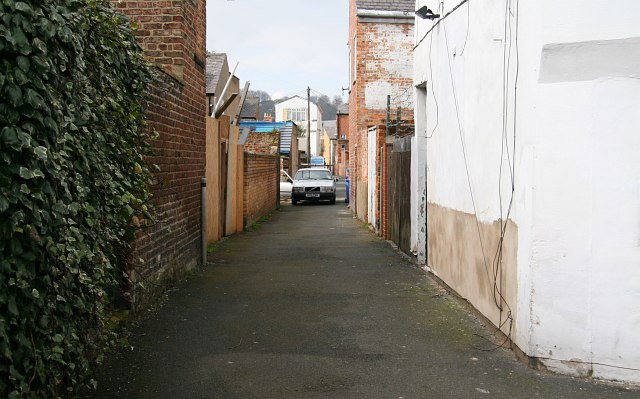
Image: © Alan Walker Taken: 9 Apr 2008
This westerly facing photograph is of a service road that runs between Avenue Road and Image The service road links this point with Image Road (ahead, in front of the taller, white building). The photograph was taken from an alleyway which, in the 1950’s and 1960’s, was known locally as Image To the left (southerly) Image leads to Image To the right (northerly) Image leads to Image Road name information from OS Maps at:- Elgin, http://www.elgin.gov.uk/
Images are licensed for reuse under creativecommons.org/licenses/by-sa/2.0
Image Location


Leaflet Map data © OpenStreetMap
Latitude
54.276557
Longitude
-0.412739