Farmland and cycle network signpost, Sutton Courtenay
Introduction
The photograph on this page of Farmland and cycle network signpost, Sutton Courtenay by Andrew Smith as part of the Geograph project.
The Geograph project started in 2005 with the aim of publishing, organising and preserving representative images for every square kilometre of Great Britain, Ireland and the Isle of Man.

There are currently over 7.5m images from over 14,400 individuals and you can help contribute to the project by visiting https://www.geograph.org.uk
Farmland and cycle network signpost, Sutton Courtenay
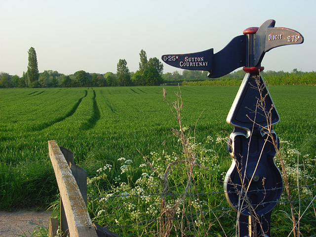
Image: © Andrew Smith Taken: 7 May 2008
At the point where the cycle route leaves Hobbyhorse Lane and heads south towards Didcot.
Images are licensed for reuse under creativecommons.org/licenses/by-sa/2.0
Image Location
Latitude
51.637165
Longitude
-1.274579