Northeastern end of bridleway over open land
Introduction
The photograph on this page of Northeastern end of bridleway over open land by Nigel Davies as part of the Geograph project.
The Geograph project started in 2005 with the aim of publishing, organising and preserving representative images for every square kilometre of Great Britain, Ireland and the Isle of Man.

There are currently over 7.5m images from over 14,400 individuals and you can help contribute to the project by visiting https://www.geograph.org.uk
Northeastern end of bridleway over open land
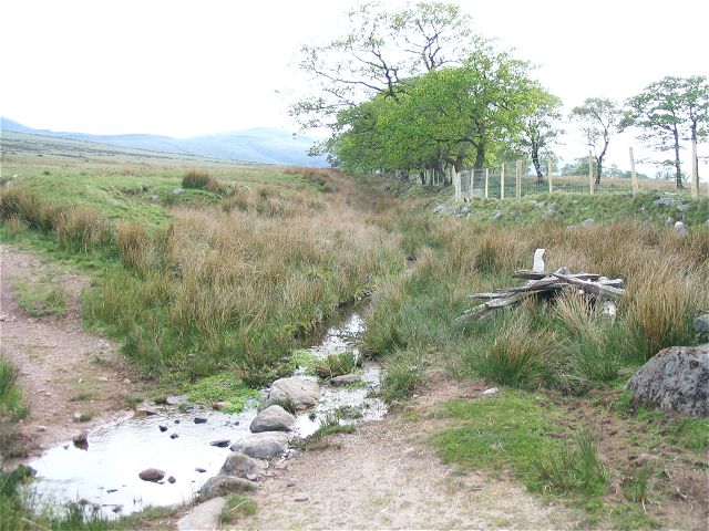
Image: © Nigel Davies Taken: 11 May 2008
The bridleway runs along the field boundary but for the section from here into the middle distance it is flooded and filled with reeds. The bridleway takes the form of a sunken track next to the raised bank of the field boundary - so it is filled by the run-off from the mountain.
Images are licensed for reuse under creativecommons.org/licenses/by-sa/2.0
Image Location
Latitude
51.874307
Longitude
-3.824423