All Saints Church, Knettishall
Introduction
The photograph on this page of All Saints Church, Knettishall by Andrew Hill as part of the Geograph project.
The Geograph project started in 2005 with the aim of publishing, organising and preserving representative images for every square kilometre of Great Britain, Ireland and the Isle of Man.

There are currently over 7.5m images from over 14,400 individuals and you can help contribute to the project by visiting https://www.geograph.org.uk
All Saints Church, Knettishall
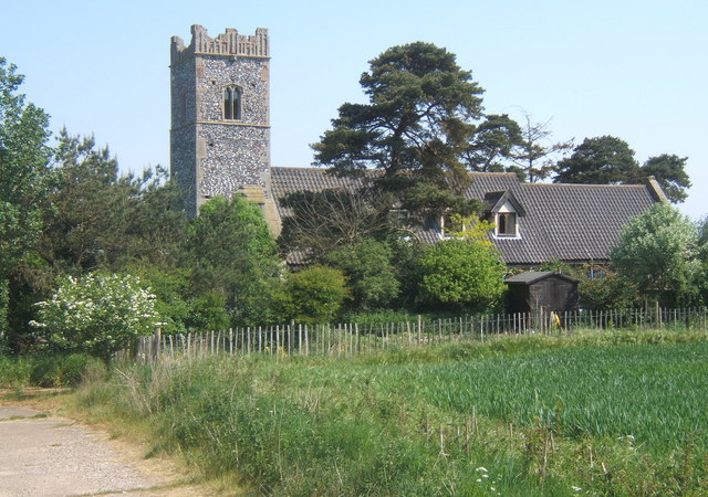
Image: © Andrew Hill Taken: 13 May 2008
The church deteriorated as it was marooned within the grounds of the former Knettishall airfield. The nave section has now been converted into a private dwelling.
Images are licensed for reuse under creativecommons.org/licenses/by-sa/2.0
Image Location
Latitude
52.384813
Longitude
0.897702