Applegarth & Sibbaldbie Parish Churchyards
Introduction
The photograph on this page of Applegarth & Sibbaldbie Parish Churchyards by Chris Newman as part of the Geograph project.
The Geograph project started in 2005 with the aim of publishing, organising and preserving representative images for every square kilometre of Great Britain, Ireland and the Isle of Man.

There are currently over 7.5m images from over 14,400 individuals and you can help contribute to the project by visiting https://www.geograph.org.uk
Applegarth & Sibbaldbie Parish Churchyards
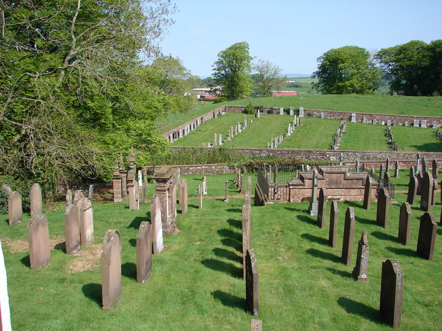
Image: © Chris Newman Taken: 13 May 2008
View from external staircase on north side of church. The old graveyard (foreground) contains two Jardine family burial enclosures (from 17th century); the same graveyard also contains 4 war graves.
Images are licensed for reuse under creativecommons.org/licenses/by-sa/2.0
Image Location


Leaflet Map data © OpenStreetMap
Latitude
55.145646
Longitude
-3.405763