Houses on Waltham Close next to the M20
Introduction
The photograph on this page of Houses on Waltham Close next to the M20 by Nick Smith as part of the Geograph project.
The Geograph project started in 2005 with the aim of publishing, organising and preserving representative images for every square kilometre of Great Britain, Ireland and the Isle of Man.

There are currently over 7.5m images from over 14,400 individuals and you can help contribute to the project by visiting https://www.geograph.org.uk
Houses on Waltham Close next to the M20
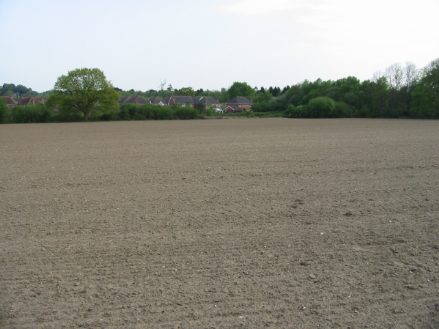
Image: © Nick Smith Taken: 3 May 2008
Viewed from the Stour Valley Walk. Willesborough windmill http://www.geograph.org.uk/photo/232011 can just be seen above the houses.
Images are licensed for reuse under creativecommons.org/licenses/by-sa/2.0
Image Location
Latitude
51.146306
Longitude
0.900497