Ryecroft sports ground
Introduction
The photograph on this page of Ryecroft sports ground by Alan Murray-Rust as part of the Geograph project.
The Geograph project started in 2005 with the aim of publishing, organising and preserving representative images for every square kilometre of Great Britain, Ireland and the Isle of Man.

There are currently over 7.5m images from over 14,400 individuals and you can help contribute to the project by visiting https://www.geograph.org.uk
Ryecroft sports ground
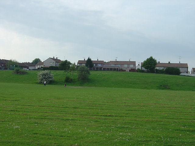
Image: © Alan Murray-Rust Taken: 11 May 2008
The main road to this area is Claypit Lane which suggests that this area might have formerly been a brickworks.
Images are licensed for reuse under creativecommons.org/licenses/by-sa/2.0
Image Location
Latitude
53.464598
Longitude
-1.325455