Mugdock Road
Introduction
The photograph on this page of Mugdock Road by Richard Sutcliffe as part of the Geograph project.
The Geograph project started in 2005 with the aim of publishing, organising and preserving representative images for every square kilometre of Great Britain, Ireland and the Isle of Man.

There are currently over 7.5m images from over 14,400 individuals and you can help contribute to the project by visiting https://www.geograph.org.uk
Mugdock Road
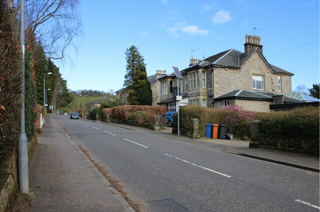
NEW Image: © Richard Sutcliffe Taken: 11 Mar 2025
The houses on the right have long back gardens which extend to Tannoch Loch.
Images are licensed for reuse under creativecommons.org/licenses/by-sa/2.0
Image Location


Leaflet Map data © OpenStreetMap
Latitude
55.950648
Longitude
-4.315535