The bottom of Moorgate Cemetery
Introduction
The photograph on this page of The bottom of Moorgate Cemetery by Alan Murray-Rust as part of the Geograph project.
The Geograph project started in 2005 with the aim of publishing, organising and preserving representative images for every square kilometre of Great Britain, Ireland and the Isle of Man.

There are currently over 7.5m images from over 14,400 individuals and you can help contribute to the project by visiting https://www.geograph.org.uk
The bottom of Moorgate Cemetery
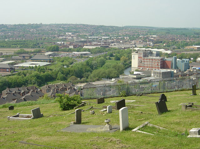
Image: © Alan Murray-Rust Taken: 11 May 2008
From here there is a fine view out over the Rother and Don valleys. The Rank Hovis flour mill is the dominant building.
Images are licensed for reuse under creativecommons.org/licenses/by-sa/2.0
Image Location
Latitude
53.420271
Longitude
-1.355649