Penberth River at Crean Bottoms
Introduction
The photograph on this page of Penberth River at Crean Bottoms by Sheila Russell as part of the Geograph project.
The Geograph project started in 2005 with the aim of publishing, organising and preserving representative images for every square kilometre of Great Britain, Ireland and the Isle of Man.

There are currently over 7.5m images from over 14,400 individuals and you can help contribute to the project by visiting https://www.geograph.org.uk
Penberth River at Crean Bottoms
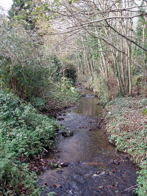
Image: © Sheila Russell Taken: 17 Nov 2005
The Penberth river rises on the common land above Sennen and follows a surprisingly steep sided valley down to Penberth cove (very noticeable from the air). Here it goes under an old bridge at Crean Bottoms.
Images are licensed for reuse under creativecommons.org/licenses/by-sa/2.0
Image Location


Leaflet Map data © OpenStreetMap
Latitude
50.060349
Longitude
-5.653664