Pasture land between Bethel and Trefdraeth
Introduction
The photograph on this page of Pasture land between Bethel and Trefdraeth by Eric Jones as part of the Geograph project.
The Geograph project started in 2005 with the aim of publishing, organising and preserving representative images for every square kilometre of Great Britain, Ireland and the Isle of Man.

There are currently over 7.5m images from over 14,400 individuals and you can help contribute to the project by visiting https://www.geograph.org.uk
Pasture land between Bethel and Trefdraeth
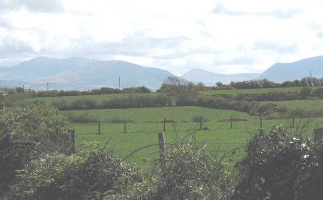
Image: © Eric Jones Taken: 2 May 2008
This is predominantly an area of pastoral farming. The mountains of Snowdonia form a magnificent background. They are, from left to right, Snowdon (Yr Wyddfa), Moel Eilio, Yr Aran and Mynydd Mawr (Elephant Mountain).
Images are licensed for reuse under creativecommons.org/licenses/by-sa/2.0
Image Location
Latitude
53.20423
Longitude
-4.394788